El Niño’s warmer temperatures advance sea level rise
Climate scientists are predicting an El Niño season which brings warmer-than-average sea-surface temperatures, and has a major influence on weather across the globe including increasing sea levels through thermal expansion. Coming out of a decade’s long drought, this news brings the hope of refilling aquifers, watersheds, rivers, and rain capture containers for our home gardens. However, it can also bring concerns of how much water will come, over what period of time, and if it will bring devastating floods. This month, we focus on a few projects that address the rising waters by revitalizing natural systems to slow, spread, and sink the falling rain and absorb the rising tides. More details about our work is detailed in our Adapting to Rising Waters strategy.
Getting out of nature’s way
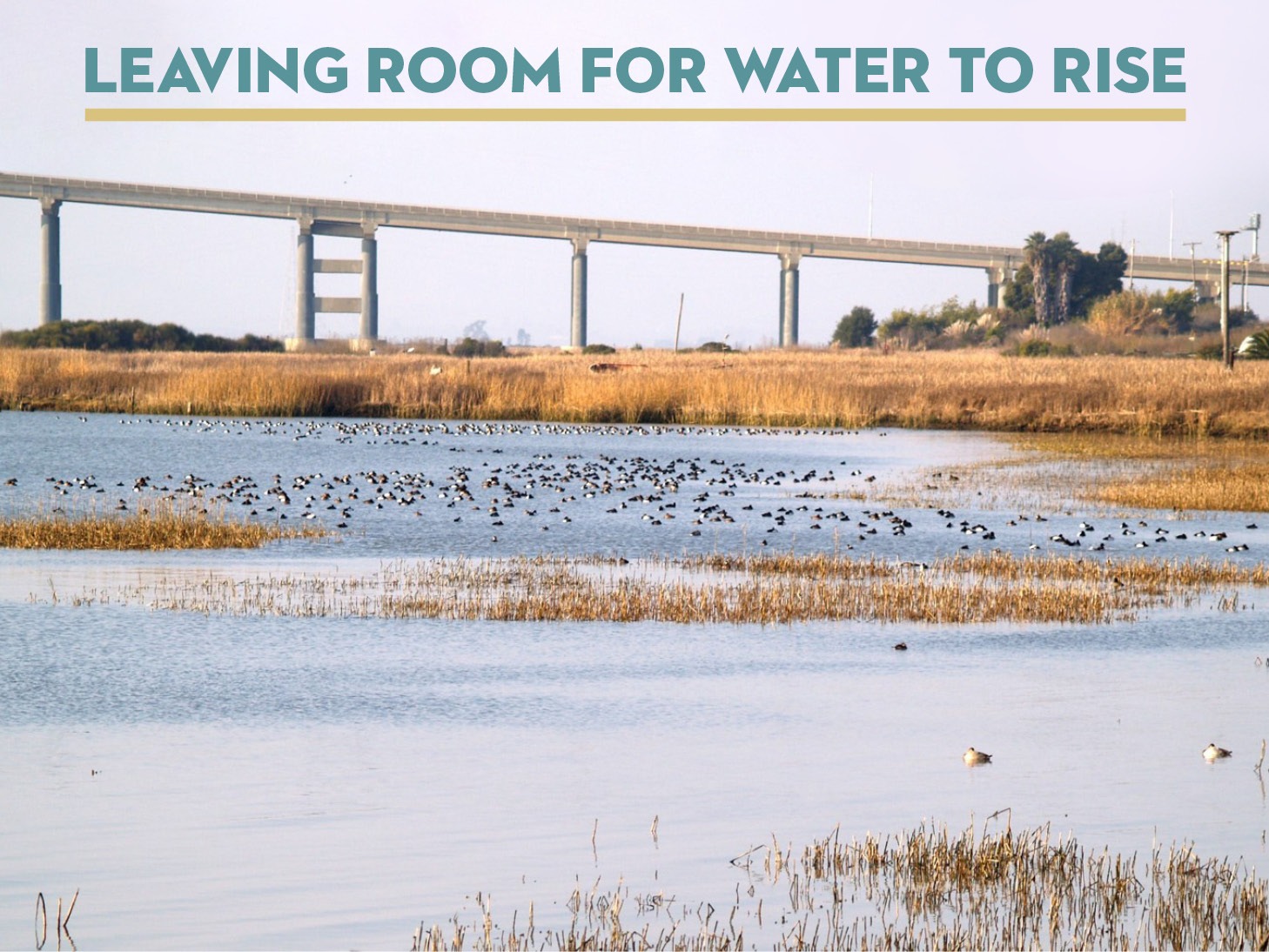
State Route 37 bisects the San Pablo Baylands, a northern reach of the San Francisco Bay, and is plagued by long traffic delays and periodic closures due to significant flooding during extreme weather events. Studies show that sections of this critical corridor connecting Solano County to Marin and Sonoma counties will be flooded regularly due to sea level rise starting in ~2040. A plan to elevate the road and to restore the wetlands, is gaining momentum and the first elevated segment has just been approved near the Novato creek, the site of prolonged flooding and closures in 2017 and 2019.
We are working with members of the Baylands Group, Caltrans, the Metropolitan Transportation Commission, and local transportation agencies, including the Sonoma County Transportation Authority, to align our restoration goals with plans to improve State Route 37.
Progress on implementing SR 37 improvements has been delayed due to a lack of funding and consensus between elected officials and state agencies. To improve coordination between transportation, regulatory, and resource agencies, a partnership agreement was signed in January 2023 between state and local agencies with commitments to implement near-term improvements to alleviate traffic congestion on SR 37 while pursuing long-term conservation and restoration projects to create a more climate-resilient transportation corridor.
One important component of the partnership agreement is the replacement of the Tolay Creek Bridge. Lengthening this bridge is a key component to a successful restoration and will allow up to 1,300 acres of (diked and drained parcels used for agriculture) baylands to be reunited with the upland watershed. This is one of the few opportunities for complete ecosystem restoration in the Bay and would reconnect Tolay Lake to the Bay. Fortunately, regional and state transportation agencies are committed to bridge lengthening as part of the interim improvements to State Route 37.
We are also engaging with our transportation partners on long-term plans to improve State Route 37. We support the Caltrans selection of an elevated causeway design for the long-term future of Highway 37. This will prepare us for a climate-ready future by incorporating natural infrastructure that will buffer the effects of flooding and erosion, while creating recreational spaces for everyone to enjoy.
Please see our website for more information on our tidal restoration plans along the State Route 37 corridor.
Quitarse de en medio del camino que sigue la naturaleza
La ruta estatal 37 atraviesa las tierras de la bahía de San Pablo, una zona septentrional de la bahía de San Francisco. La ruta sufre largos retrasos en el tráfico y cierres periódicos debido a grandes inundaciones durante incidentes meteorológicos extremos. Los estudios muestran que, a partir del año ~2040, algunas secciones de este corredor crítico que conecta el condado de Solano con los condados de Marin y Sonoma se inundarán con regularidad debido a la subida del nivel del mar. Un plan para elevar la carretera y restaurar los humedales está ganando impulso. El primer segmento elevado acaba de ser aprobado cerca del arroyo Novato, el sitio de prolongadas inundaciones y cierres en 2017 y 2019.
Estamos trabajando con miembros del Grupo Baylands, Caltrans, la Comisión Metropolitana de Transporte y agencias de transporte locales, incluida la Autoridad de Transporte del Condado de Sonoma, para alinear nuestros objetivos de restauración con los planes de mejorar la ruta estatal 37. Los avances en la ejecución de las mejoras de la SR 37 se han retrasado debido a la falta de financiación y de consenso entre los funcionarios electos y las agencias estatales. Para mejorar la coordinación entre las agencias de transporte, pólizas y recursos, en enero de 2023 se firmó un acuerdo de colaboración entre las agencias estatales y locales con el compromiso de implementar mejoras a corto plazo para aliviar el tráfico en la SR 37 mientras se continúan proyectos de conservación y restauración a largo plazo para crear un corredor de transporte más resistente al clima.
Un componente importante del acuerdo entre todos los socios es la sustitución del puente del arroyo Tolay. Alargar este puente es un componente clave para el éxito de la restauración y nos permitirá restaurar hasta 1.300 acres de tierras de la bahía (parcelas con diques y drenadas utilizadas para la agricultura), reuniéndolas con la cuenca de tierras altas. Se trata de una de las pocas oportunidades de restauración completa del ecosistema de la bahía y volvería a conectar el lago Tolay con la bahía. Afortunadamente, las agencias de transporte regionales y estatales se han comprometido a alargar el puente como parte de las mejoras provisionales de la ruta estatal 37.
También estamos colaborando con nuestros socios de transporte en los planes a largo plazo para mejorar la ruta estatal 37. Apoyamos la selección por parte de Caltrans de un diseño de calzada elevada para el futuro a largo plazo de la carretera 37. El diseño nos ayudará en un futuro preparado para el clima cambiante mediante la incorporación de infraestructuras naturales que amortiguarán los efectos de las inundaciones y la erosión, al tiempo que crearán espacios de ocio para el disfrute de todos.
Consulte nuestra página web para obtener más información sobre nuestros planes de restauración mareal a lo largo del corredor de la ruta estatal 37.
Moving from hay to bay
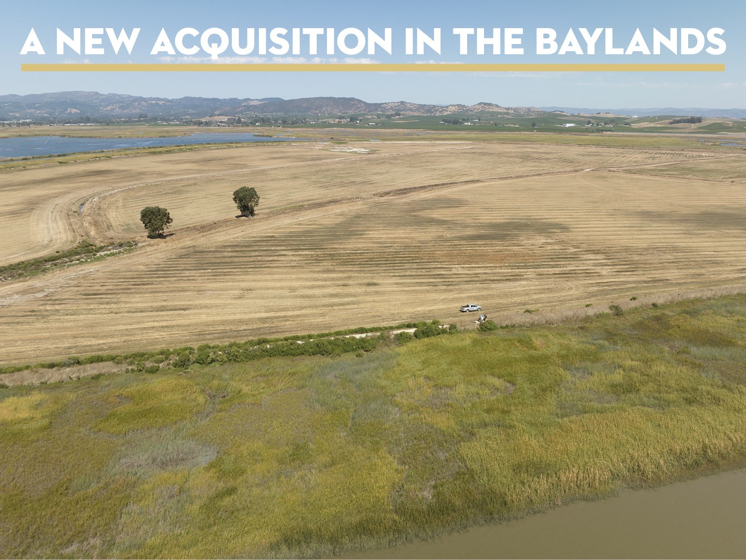
On September 5, Sonoma Land Trust, in partnership with the Natural Resources Conservation Service (NRCS), the San Francisco Bay Restoration Authority (Restoration Authority) and the Gordon and Betty Moore Foundation (Moore Foundation), purchased the 1,150-acre Camp 4 property on Ramal Road, a vital piece of the Sonoma Creek Baylands ecosystem. This collaborative effort marks significant progress toward the Land Trust’s strategic goal of permanently protecting and restoring 10,000 acres of baylands ecosystem. This will ensure our region greater resilience against sea level rise, and boost the conservation of threatened and endangered wildlife populations.
Situated in the heart of the Sonoma Creek Baylands, the property will be restored to tidal marsh wetlands after a century of agricultural use, most recently as an organic hay farm. Camp 4 sits between the San Pablo Bay National Wildlife Refuge and the Napa-Sonoma Marshes Wildlife Area, and is encircled by seven miles of tidal slough channels. This makes it an essential part of the broader wetland network which, when restored, will act as the most critical defense area against rising sea levels in the San Francisco Bay Area.
The partnership between Sonoma Land Trust and NRCS underscores their commitment to preserving natural landscapes. The collaboration’s primary goal is to secure the 1,150-acre property through a Wetland Reserve Easement (WRE) purchased by NRCS. The property’s underlying fee title will be acquired by the Land Trust, subject to the WRE. Sonoma Land Trust and NRCS will work hand-in-hand to design and implement a comprehensive tidal restoration plan, with the Land Trust taking on stewardship responsibilities for up to a decade, or until a suitable partner agency assumes ownership.
The acquisition and restoration of the Camp 4 property offers significant benefits for both the environment and the community:
- Wetland Expansion: This acquisition expands the protected wetlands area along San Pablo Bay by adding over 1,150 acres, further safeguarding the delicate ecosystem.
- Resilience Against Sea Level Rise: The restoration efforts contribute to the community and habitat’s resilience against the impacts of rising sea levels. The project aligns with Sonoma Land Trust’s Adapting to Rising Waters Strategy.
- Enhanced Habitat Diversity: Restoration of the 1,150-acre wetland habitat enhances San Francisco Bay’s biodiversity, providing a home for a diverse range of plants, fish, birds, and other wildlife.
- Critical Wildlife Populations: The Camp 4 property will serve as a vital habitat for special-status plants, fish, and wildlife, including the endangered Ridgway’s rail and salt marsh harvest mouse. Additionally, it will support hundreds of thousands of waterfowl and shorebirds along the Pacific Flyway, contributing to their conservation.
- Concentration of Waterfowl: The property will become home to more than 30 species of waterfowl, including a significant population of canvasback ducks—one of the largest concentrations in North America—and approximately 50 percent of the Pacific Flyway’s diving duck population.
How Camp 4 got its name:
In a report by historian Arthur Dawson, the Camp 4 property was one of many that was drained under the Swampland act of 1850, which provided the initial incentive for individuals to drain lands below the high tide line. It wasn’t until 1890 when this work shifted from human hands to steam-powered dredging machines that it really picked-up speed.
Around this time, Senator John P. Jones owned 15,000 acres (25 square miles) of Sonoma Valley’s tidelands and drained them for agricultural land. Jones set up six ‘Camps’ with bunkhouses to accommodate the workers on his ranch. As many as two hundred horses were used to work the land and were housed in huge barns. Hay was the most popular crop and was exported to San Francisco to fuel the horse-drawn carriages of that era.
Over time the converted tidelands dried out and the organic material in them decomposed, and they subsided as much as eight feet in elevation. In addition, these lands were no longer being replenished with sediment from tidal waters and upstream floodwaters from Sonoma Creek. Winter rains watered the dry farmed oat hay, but the levees prevented the floodwater from spreading across the landscape creating unintended upstream flooding. The first recorded flooding in the Schellville area occurred shortly after Jones’ dredges completed the first significant levee along Sonoma Creek in 1890.
Learn more about this property and to read the report by Athur Dawson, visit our webpage.
Restoring a creek for rising waters
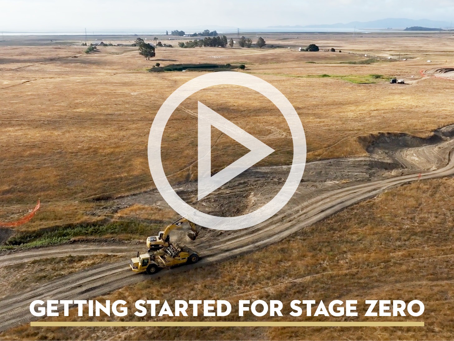
In the southernmost reach of Sonoma County is the baylands landscape, which has experienced massive habitat transformation in the span of 150+ years, is undergoing another transformation – a $2 million creek rehabilitation of Lakeville Creek, located on our Sears Point Ranch Preserve, is the site for the Bay Area’s first Stage Zero creek restoration. It’s also the second project to be statutorily exempted from CEQA as part of California’s Cutting the Green Tape initiative, which fast-tracks restoration projects to achieve 30×30 and climate adaptation goals. With a talented team of experts, we have broken ground and made substantial progress in a just a matter of weeks.
Earlier this year, Sonoma Land Trust was awarded $2.2 million from the California Department of Fish and Wildlife (CDFW) for this first-of-its-kind project in the region. Working in collaboration with Prunuske Chatham, Inc (PCI), and Dixon Marine, the site has quickly transformed into a formidable construction zone with large land moving equipment visible from Lakeville Road.
Over a six-week period, the equivalent of 1,000 dump trucks filled with soil is being moved from the upper reach of the property to fill the eroded channel. Ecologists are visiting to study the natural habitat in the project area and relocating the small number of frogs, snakes, and other creatures to safety during construction. Representatives from the Federated Indians of Graton Rancheria and local archeologists are conducting cultural resource monitoring to ensure that any resources are properly handled. We are on schedule to complete the land movement phase in early October, filling the channel.
The work moves into a second phase which requires a few good rains before introducing 30,000 new plants to the site. Until then, they are growing in strength at a local nurserywaiting for their big moment later this winter.
Check out the progress being made on our website and across our social media channels.
New staff introductions: Kylie and Merrill
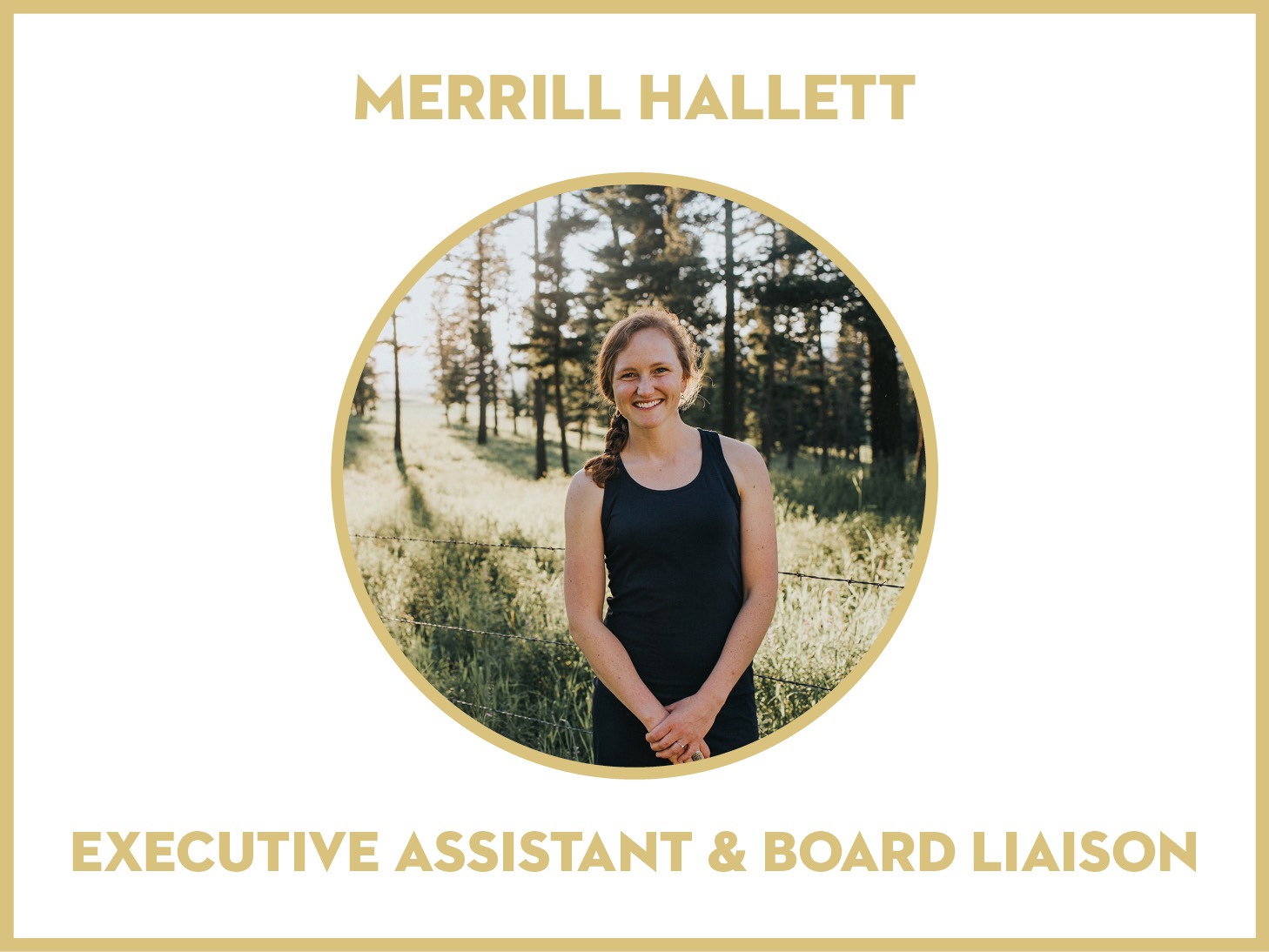
Please join us in welcoming Merrill Hallett – our newest team member! Merrill comes to her position as Executive Assistant and Board Liaison with extensive experience holding leadership roles in operations, fundraising, and partnership development. She began her leadership training in the “outdoor office” as an adventurer, horse packer, and sled-dog handler, and then transitioned to the non-profit sector to advance climate and conservation solutions. She has served on numerous nonprofit boards and excels in building teams and systems. Merrill has roots in Sonoma County and now lives in Santa Rosa with her husband, son, and two very good dogs.
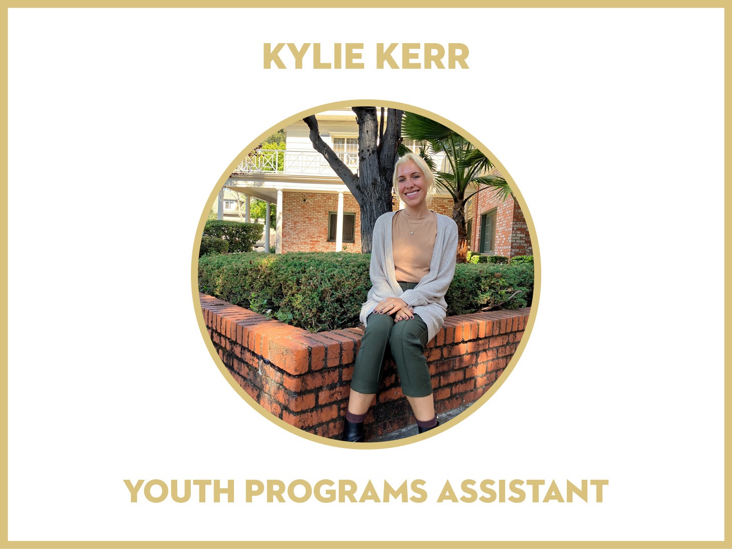
We are excited to welcome our new Youth Programs Assistant – Kylie Kerr! She brings a strong science background and diverse array of experience to her role on the community engagement team, including working as a teaching assistant, research volunteer, and holding the role of youth chair of the Petaluma City Youth Commission. Kylie recently graduated from Cal Poly San Luis Obispo with dual Bachelor of Science degrees in Environmental Earth and Soil Sciences and Marine Sciences. Kylie loves to read, cross-stitch, hike, picnic, and spend time outdoors, and she volunteers at the Marine Mammal Center in her free time.
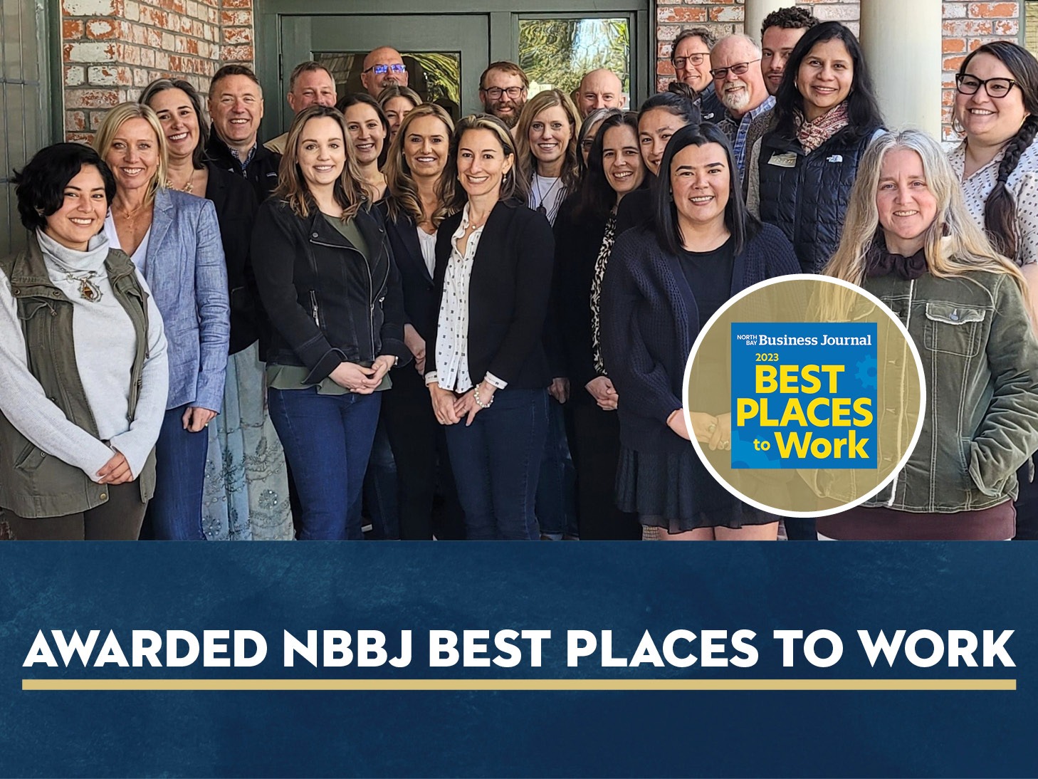
More than a nonprofit, we’re a team with a deep love of the land working together to protect Sonoma County. We’re proud to be voted one of the Best Places to Work by the North Bay Business Journal for the second time!
Looking back at our Member Appreciation Day event
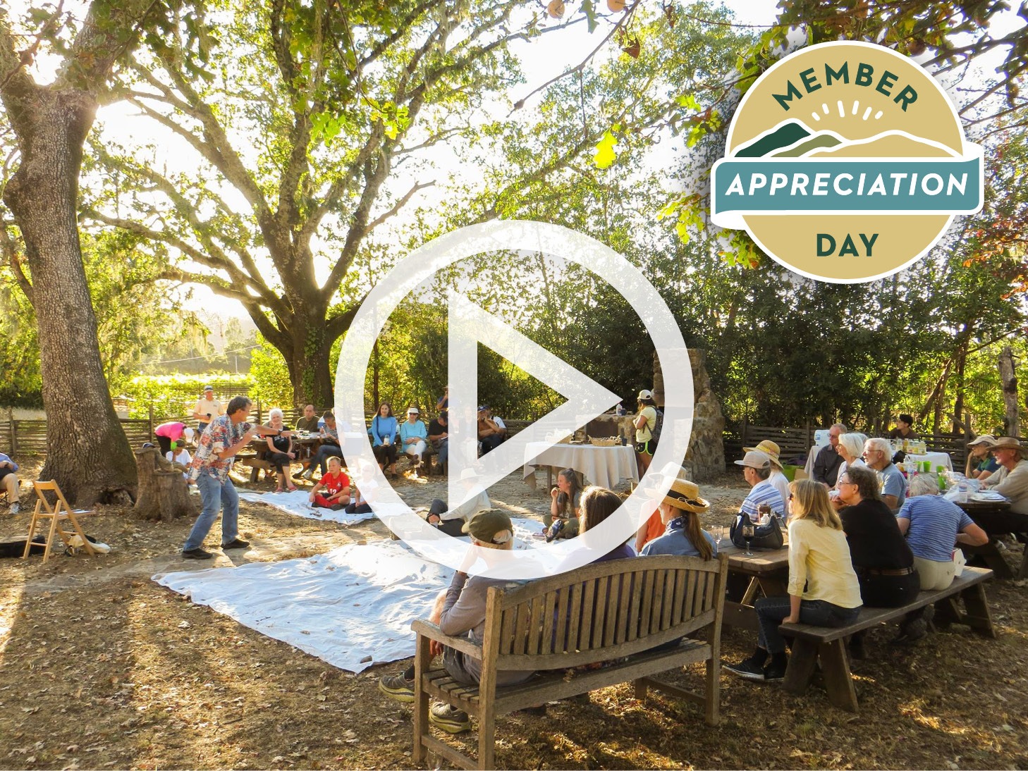
Sonoma Land Trust’s Member Appreciation Day, held on August 19th at Glen Oaks Ranch Preserve, was a day filled with gratitude and celebration for the dedicated members who share our commitment to preserving nature, our most cherished resource. We extend our heartfelt thanks to everyone who joined us to make it an exceptional day on the land!
The day was nothing short of fantastic, offering a diverse range of activities that catered to every member of the family. The morning began with a rejuvenating yoga session offered by Mary Olswang of the Santa Rosa YMCA, as well as a co-led hike by Jennifer Potts of Audubon Canyon Ranch and Chris Carlson of the Land Trust across the Bouverie and Glen Oaks Ranch Preserves. Following that, our members embarked on a guided tour led by local historian Arthur Dawson, exploring the historic Civil War-era stone mansion and its picturesque surroundings.
For those eager to reconnect with the wild, there were opportunities to learn essential wilderness skills from REI. We also delved into the vital topic of wildfire ecology practices, an essential element in preserving our natural landscapes, with Joe Plauger, Stewardship Project Manager at the Land Trust. Families with children found delight in the dedicated kids’ zone, while others embarked on a self-guided stroll through the expansive 236-acre preserve. Along the way, they discovered the tranquil beauty of oak woodlands and expansive meadows.
As the day drew to a close, old friends reunited and new ones were made during a picnic lunch by local café, Zoftig, followed by cooling treats by Once Upon A Slush. The joyful atmosphere was amplified by the lively music offered throughout the day by Spanish Guitarist Richard Wormstall, Melody of China, and bluegrass band, Muleskinner Stomp.
Sonoma Land Trust’s Member Appreciation Day was a true celebration of nature and community. If you’re not yet a member and would like to join us for this event next year, please donate today!
Events
Language of the Land: Gardening for Wildlife
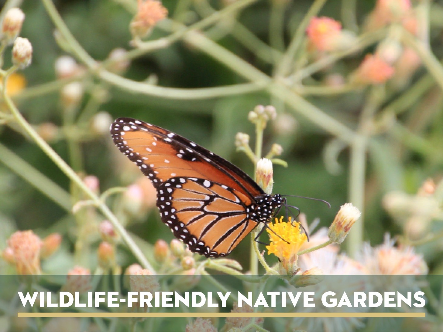
Language of the Land: Gardening for Wildlife
Lenguaje de la tierra: Jardinería para la fauna silvestre
Language of the Land: Raptors in the Skies
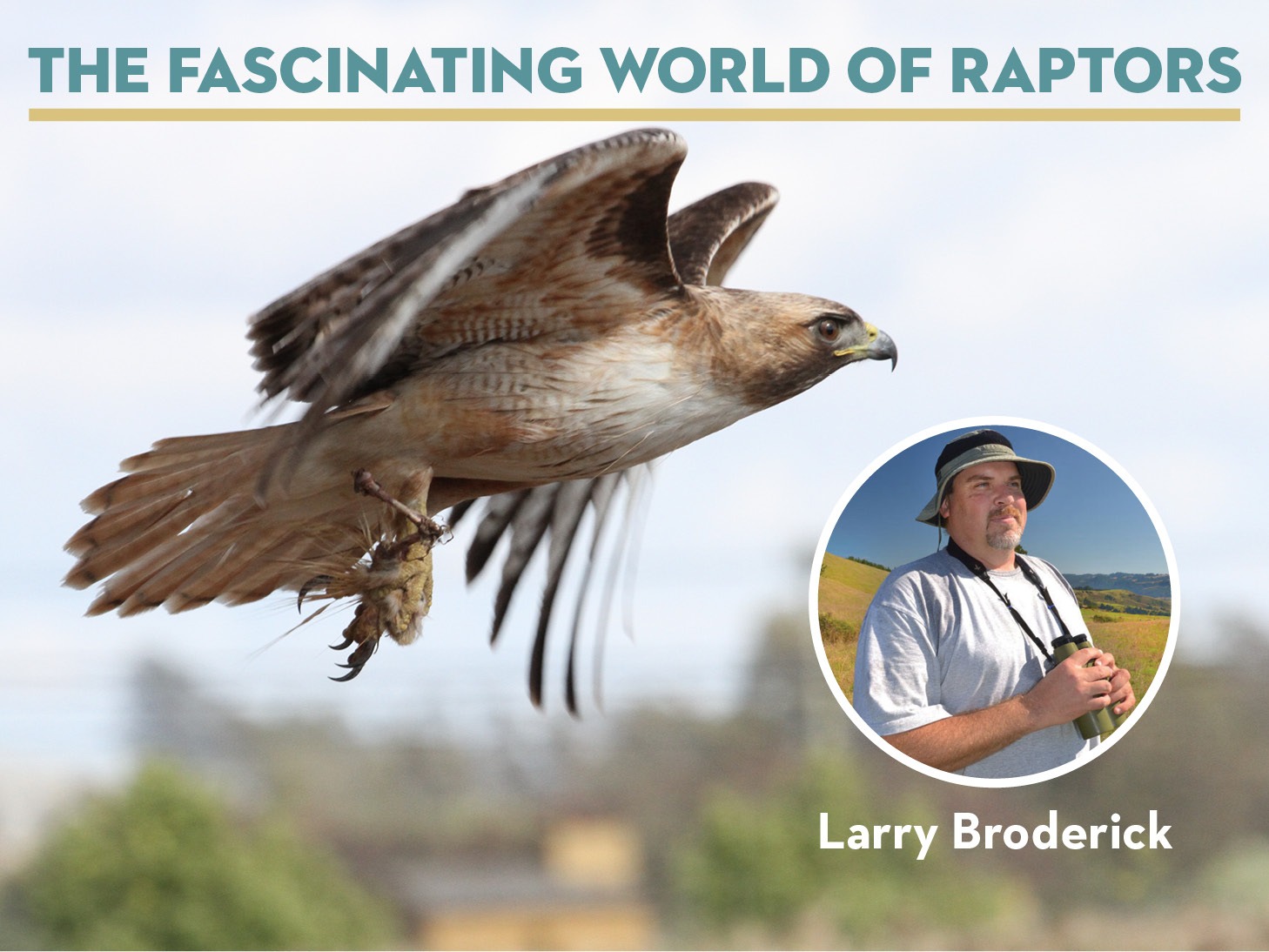
Wednesday, October 25, 7pm
In this webinar, California Certified Naturalist Larry Broderick will take us on an enlightening tour of the diversity of raptors that migrate down the Sonoma Coast each fall. We will enjoy a stunning visual display of close-up photographs and learn how to spot the birds in the skies. Drawing upon his decades of experience observing and documenting birds of prey, Larry will give us an insider’s view into this fascinating world of flight.
Language of the Land: Ancient Forests of Sonoma County
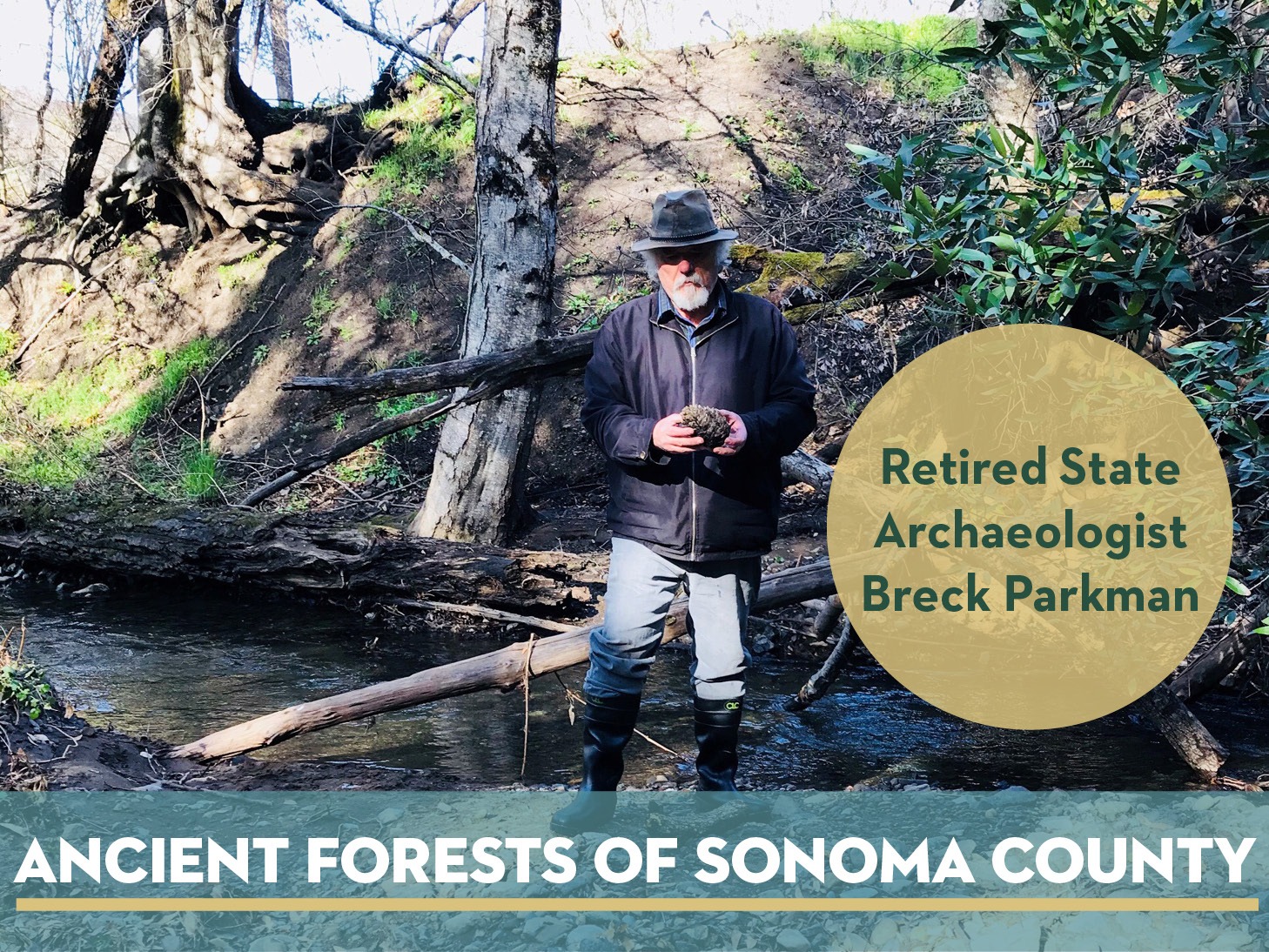
November 16, 7-8:30pm
The remains of ancient trees have been found at several locations in Sonoma County. In this talk, retired State Archaeologist Breck Parkman will highlight two of his important discoveries. The first was a Sitka spruce at Bodega Head, remnants of which were exposed during a winter storm. The second was a Monterey pine found eroding from Sonoma Creek. Both trees were many thousands of years old, dating to the last Ice Age. In this talk, Breck Parkman will discuss the nature of the ancient forests of Sonoma County and the significance of finding an ancient Sitka spruce and Monterey pine growing here at the end of the Ice Age. What might that mean in a world facing a changing climate?
Free Public Hikes in Partnership with Sonoma County Ag + Open Space
There is no charge for these events, which are made possible by the voters of Sonoma County who fund the work of Ag + Open Space with a quarter-cent sales tax.
Estos eventos son gratuitos y son posibles gracias a los votantes del condado de Sonoma, que financian la labor de Ag + Open Space con un impuesto sobre las ventas de un cuarto de céntimo.
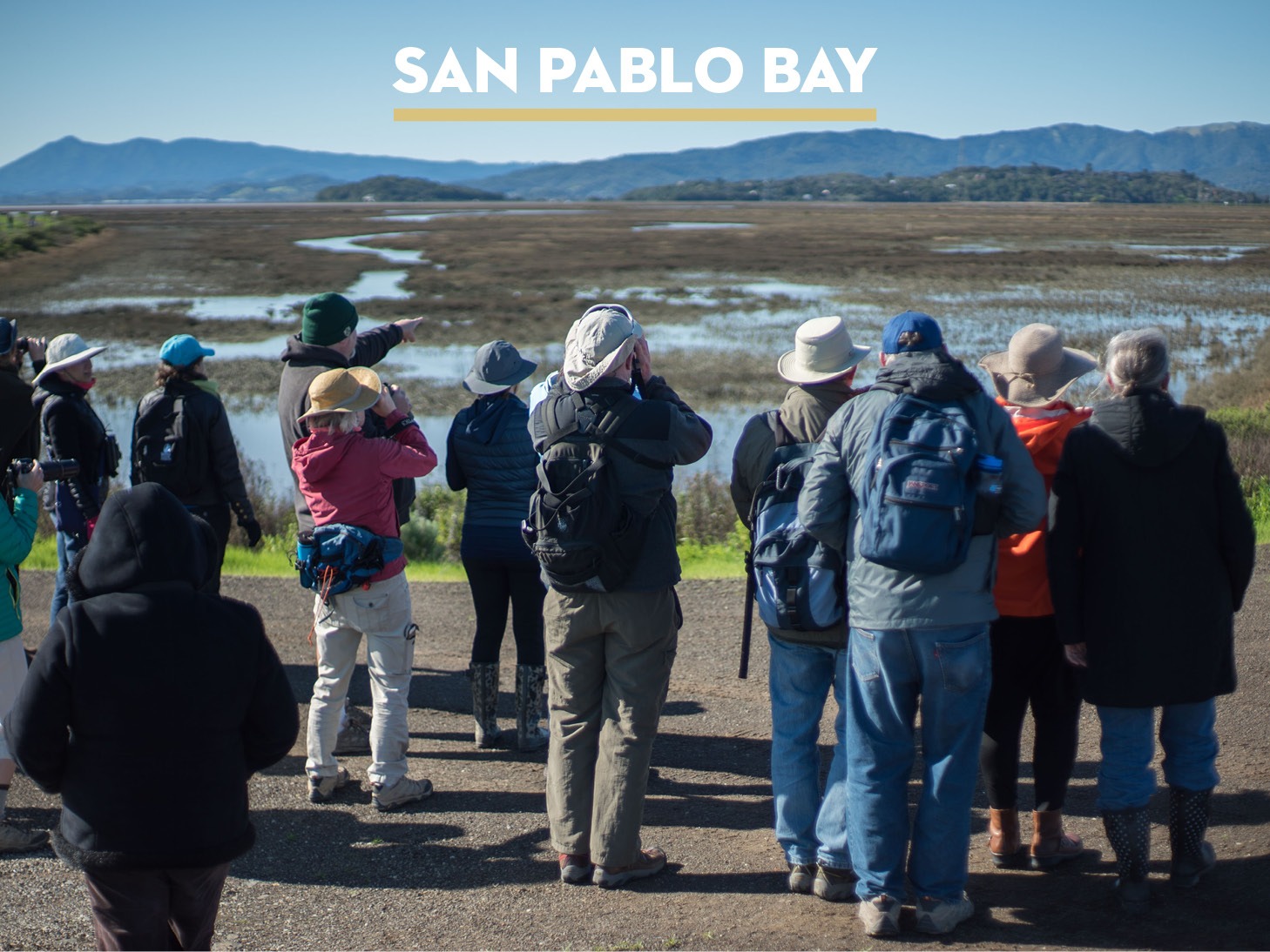
Bay Day Raptor Walk at Sears Point Marsh
Saturday, October 7
10am–12pm Register
1pm–3pm Register
Celebrate Bay Day with Sonoma Land Trust and Ag + Open Space with a raptor walk on the San Pablo Bay. Certified California Naturalist Larry Broderick will guide us on a journey to discover the many species of birds that can be found at the San Pablo Bay National Wildlife Refuge. We’ll take a walk along the Dickson Trail between the tidal marsh restoration areas at the Sonoma Baylands and the former Dickson Ranch.
Level: Gentle
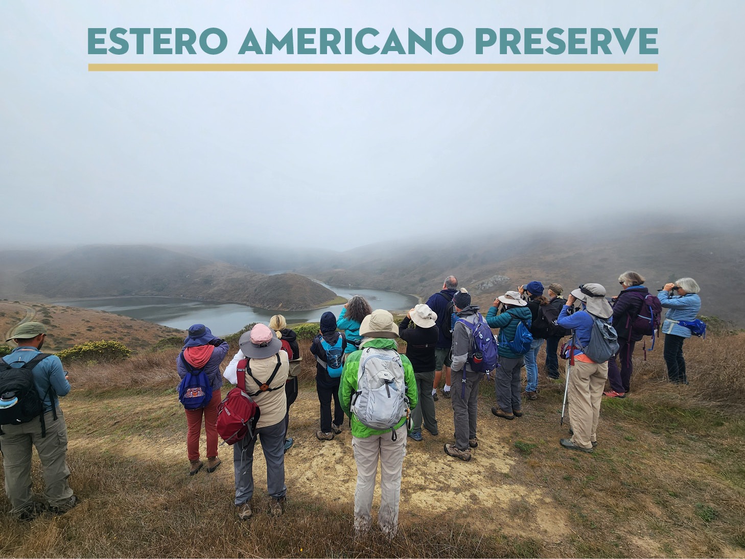
Raptor Walk with Larry Broderick at the Estero Americano Preserve
Sunday, October 15
10am–2pm
Join Sonoma Land Trust and Sonoma County Ag + Open Space as we look to the fall skies with raptor enthusiast and California Certified Naturalist Larry Broderick! Larry’s love for the birds is contagious and he narrates what is happening in the skies with the intensity of a sports commentator. Come away with skills to easily identify the raptors flying overhead during the fall migration.
Level: Moderate
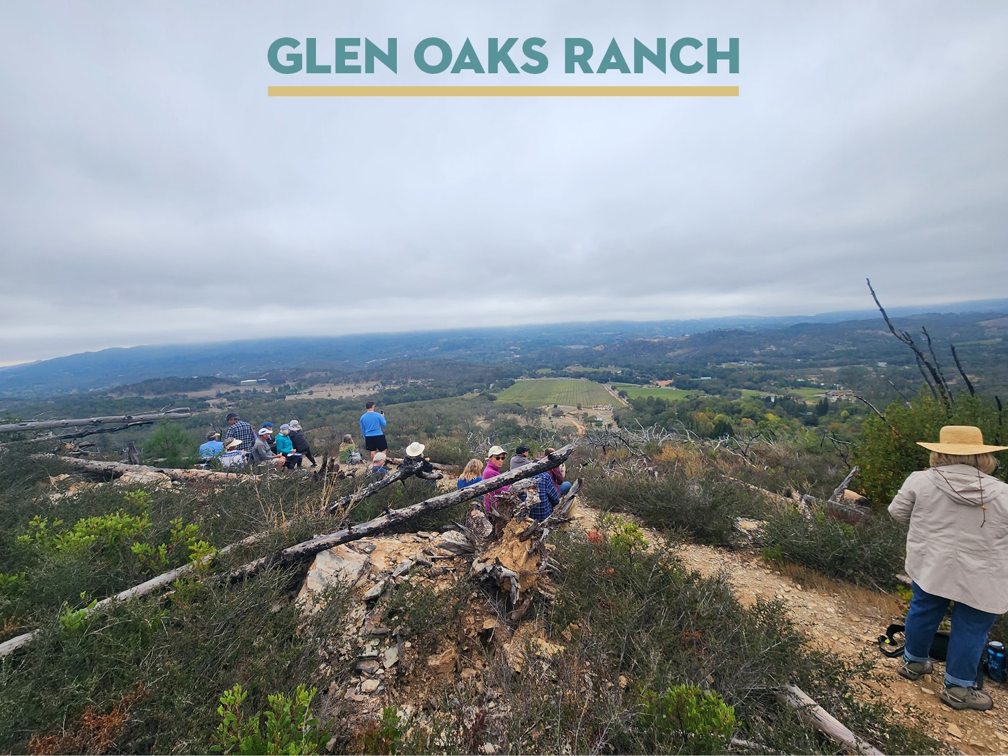
Glen Oaks Ranch Walk
October 21
10am-2pm
Join Sonoma Land Trust and Sonoma County Ag + Open Space for a walk at Glen Oaks Ranch — an historic ranch located in Sonoma Valley near Glen Ellen. This 234-acre preserve was donated to Sonoma Land Trust in 2001. Sonoma County Ag + Open Space holds a conservation easement on this land, which designates three conservation zones — historic, agriculture and forever wild. This hike is approximately 3 miles with a 300-foot elevation gain.
Level: Moderate
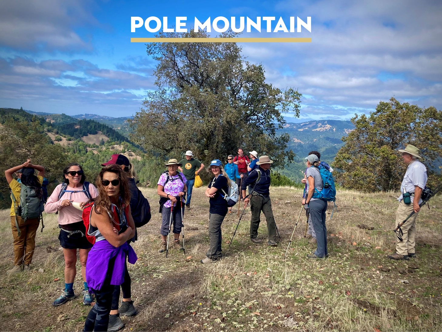
Adventure Hike up Pole Mountain
October 22
10am–4pm
Join Sonoma Land Trust and Sonoma County Ag + Open Space for a guided hike up the north side of Pole Mountain. We’ll hike through the forest of the Little Black Mountain Preserve to reach the 2,204-foot summit for amazing 360-degree views of the Sonoma Coast and beyond. This is a 6-mile round-trip hike with a 1,000-foot elevation gain.
Level: Strenuous
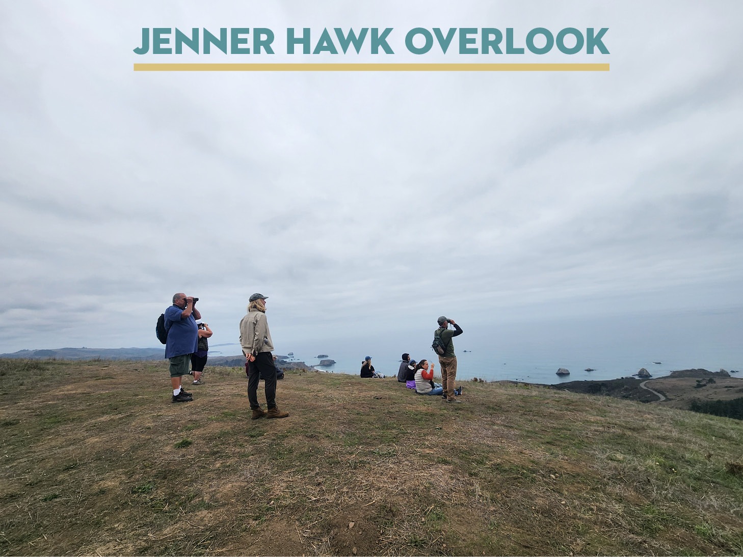
Raptor Walk with Larry Broderick at the Jenner Headlands Preserve
October 29
10am–3pm
The Jenner Hawk Overlook is the spot to view the fall migration of raptors as they soar on the hillside updrafts along the Sonoma Coast. Join Sonoma Land Trust and Sonoma County Ag + Open Space for a hike with California Certified Naturalist Larry Broderick, who will introduce you to bird spotting and identification on location. We will walk approximately 4.5 miles with about 800 feet in elevation gain.
Level: Strenuous
See our Outings and Events Page for Additional Public Hikes
Recommendations

- Book: Water: A Biography by Giulo Boccaletti
- Podcast: Highway 37 Wetlands Tour
- Video: OpenRoad: Restoring Wetlands
- Webinar: Language of the Land: Adapting to Rising Waters
- TED Talk: The Secret to rising sea levels
- App: NOAA’s Tide Alert