Blog
How to prepare for El Niño this fire season
The science behind this fire season
May marks the beginning of fire season in California, and this year, the climate context is especially noteworthy. After another year of record-breaking heat, scientists are tracking what could be one of the most powerful El Niño events in recorded history. As we transition out of La Niña, forecasting models now show a high probability of El Niño developing this year, with signals pointing toward moderate to extreme conditions.
Our new Director of Conservation Melodie Grubbs brings expertise in meteorology and explains that El Niño at this scale doesn’t just shift seasonal weather; it releases enormous amounts of stored ocean heat into the atmosphere, amplifying storm intensity and driving more extreme conditions across the globe. We’ve already seen a preview with Cyclone Maila, which recently became the first hurricane-strength storm ever recorded north of the Solomon Sea. As a science-based organization, we rely on these projections to help us stay prepared for whatever this season may bring.
El Niño at this scale doesn’t just shift seasonal weather; it releases enormous amounts of stored ocean heat into the atmosphere, amplifying storm intensity and driving more extreme conditions across the globe
What this means for Northern California
El Niño’s effects in California are well documented, and local residents won’t have to think back too far to recall seeking kayakers down the main streets of Healdsburg and Guerneville. Strong events tend to bring wetter winters, more intense storms, and an increase in atmospheric rivers, raising the risk of flooding, erosion, and landslides.
The big takeaway, and why we’re paying close attention, is that El Niño’s effects often produce prolonged, cumulative effects across the landscape, saturating soils, and destabilizing hillsides, but can also lead to climate “weirding”—increasingly extreme and unpredictable weather patterns caused by global climate change—with unexpected summer lightning storms, or even substantial rain during traditionally dry periods. Catastrophic wildfire risk is compounded by drought, but for now, Sonoma County is not in one—which is good news [see the U.S. Drought Monitor for more]. These effects impact all of us, and together, we can prepare for them and reduce the disruption that they can cause if we prepare in advance.
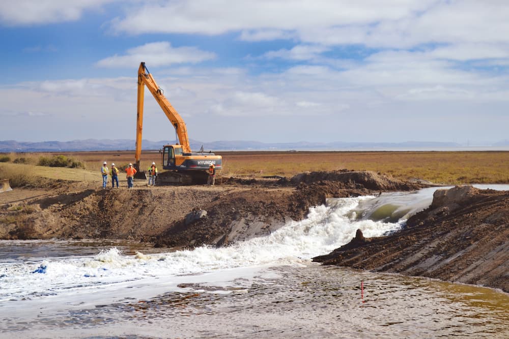
How we’re preparing the land
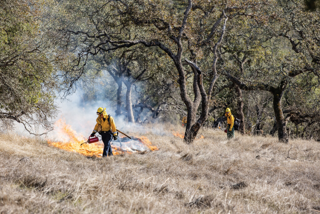
Sonoma County has more than 500,000 acres of forests that, left unmanaged, have become densely packed and susceptible to wildfire. Sonoma Land Trust is working to change that through prescribed burns, fuel reduction, and fire-adaptive land management strategies.
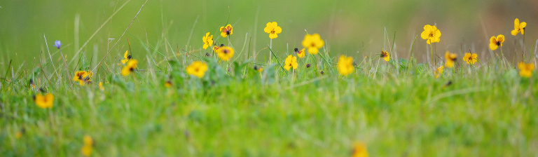
Last year, we successfully burned 144 acres across six preserves: Little Black/Pole Mountains, Sonoma Mountain Vernal Pools, Laufenburg Ranch, Live Oaks Ranch, and Glen Oaks Ranch. In total, we’ve treated 450 acres toward our 500-acre goal by 2028, and the difference on the ground—healthier grasslands, revived oak woodlands, resurgence of native plants—show that good fire is working.
We are founding partners in the Sonoma Valley Wildlands Collaborative, working with State Parks, All Hands Ecology, Ag+Open Space District, Mitsui Ranch, Regional Parks and CAL FIRE, to implement ecologically beneficial forest management and prescribed fire projects that reduce fire risk across public and private conservation lands. Beyond the valley, we partner with the Coast Ridge Community Forest and Fire Forward, participating in and funding training for forest management practices including pile burning and prescribed fire to help to build regional capacity.
Stronger together
Behind this work are the people who make it happen, including the voters who supported Regional Parks and Ag+Open Space funding through the ballot box. To meet the needs of this work, we have a certified burn boss, Joe Plaugher, on staff, and we invest continuously in our team’s training and professional development.
This work would not be possible without the knowledge and partnership of Indigenous communities whose stewardship practices shaped these landscapes for generations and still do today. We proactively engage with Tribal governments and Indigenous communities before starting prescribed burns to ensure the protection of cultural and natural resources and monitor the lands together as we see the benefits of this work, and we are committed to ongoing partnership.
Learn more about our Living with Wildfire strategy.
What you can do to prepare for wildfires
The good news: preparation works. Here’s what to prioritize now, before fire weather peaks:
- Zone 0 (0–5 ft): Clear dead leaves from gutters, vents, and decks. Use non-combustible mulch in your landscaping.
- Zone 1 (5–30 ft): Have space between plants and trees; trim branches overhanging your roof.
- Zone 2 (30–100 ft): Reduce brush and ladder fuels; mow dry grasses to 4 inches in height.
Our Wildfire Resources for Landowners page has guides from Fire Safe Sonoma and the California Native Plant Society to walk you through each step.
Stay informed in real time
Download Watch Duty if you haven’t already. The app, built by a Sonoma County nonprofit, provides real-time fire intelligence and integrates prescribed burn alerts alongside wildfire updates, so you always know what that smoke on the horizon means.
Refresh your emergency plan
- Know at least two evacuation routes at your home or place of work
- Restock your go-bag: water, medications, documents, chargers
- Sign up for Sonoma County’s Emergency Alerts
- Know your evacuation zone: SoCo Emergency Evacuation Map
- Coordinate a household meeting point
Air quality
- PurpleAir—Hyperlocal air quality map
- AirNow Fire & Smoke—Fire-specific air quality data
Weather
- NOAA California Fire Weather—Red flag warnings and watches
- NorCal Geographic Coordination Center—The weather resource used by CAL FIRE