Blog
Monitoring migration over Sonoma County skies
The mysteries of bird migration have long puzzled scientists and birders alike. Where do they go when they leave Sonoma County, where did they come from when they arrive?
Migrating birds face many challenges and critically important is access to open spaces and habitat where they can land, rest, and feed before taking off. This is what we do here at Sonoma Land Trust: preserve critical lands for biodiversity and sanctuary, for animals, plants, and people.
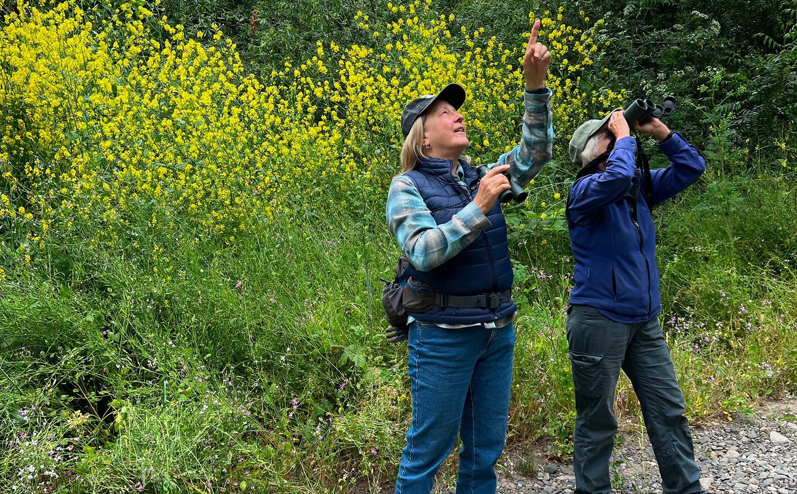
Longtime friends and avid Sonoma Land Trust supporters CJ (Carolyn Johnson) and Geri Brown bird monthly around Sonoma County.
On a recent birding outing in early May, Geri commented that her Golden-crowned Sparrow had left the Oakmont area. CJ knew about a dynamic new monitoring dashboard called the Bird Migration Explorer launched by the National Audubon Society and nine founding partners in 2022.
“The Bird Migration Explorer shows us how migratory birds connect the places protected by Sonoma Land Trust to other places across the hemisphere,” explains Dr. Nat Seavy, director of migration science for Audubon’s Migratory Bird Initiative. “For example, you could view animated migration maps for birds that are common on Sonoma Land Trust properties, such as Golden-crowned Sparrows or Great Egrets. You can also look up a hemispheric map that shows how a location, like San Pablo Bay, is connected to other places across the hemisphere by the movements of migratory birds.”
With this state-of-the-art digital tool, anyone can follow hundreds of species of migratory birds along their epic journeys, see how they connect us across the hemisphere, and discover challenges they face along the way. The Bird Migration Explorer has a wide array of colorful maps, built using the tracking data from more than 9,300 birds studied by scientists across the Western Hemisphere, who have generously shared their data.
In late April CJ’s husband Rick Theis called her outside as there was a “songbird fallout” in their yard on Mt. Pisgah, between Graton and Occidental. When this happens, migrating birds land and rest when conditions like strong headwinds make it too difficult to continue their journey. It is a rare occurrence and an important opportunity for a birder to report the different birds of which there can be hundreds in a single event.
CJ shared of this experience, “we heard a sound explosion between 8am and 10am where we were unable to discern individual birds in order to count, or at least estimate the numbers. Perhaps 20 Townsend’s warblers, hermit warblers, yellow-rump black-throated gray, several orange-crowned warblers. Others that had arrived earlier also contributed to the cacophony including Warbling Vireos, Wilson’s warbler, Black-headed Grosbeaks, Hooded Orioles, Hutton’s Vireo, Western Tanager, Pacific-slope Flycatcher, and others. It was a remarkable event!”
A friend told CJ about BirdCast, a project from the Cornell Lab of Ornithology and partners that uses weather radar to forecast and confirm the number of birds aloft each night during spring and fall migration. She was able to see that thousands of birds were flying over Sonoma County the evening of her the “songbird fallout” event and she surmised they were brought down to her property by a rainstorm that evening.
“BirdCast reveals the awe-inspiring scale of migration across the continent which largely goes unseen under cover of darkness,” said Dr. Miyoko Chu, director of Science Communications at the Cornell Lab of Ornithology. “It’s thrilling to learn how many millions of birds may pass over your county on a peak night, and to go out to find them the next day.”
Note: The Golden-crowned Sparrow and Great Egret maps above were made possible in part thanks to data contributed by Point Blue Conservation Science and Audubon Canyon Ranch, respectively. If you are a researcher and would like to learn more about contributing data to Audubon’s Migratory Bird Initiative, please email migratorybirds@audubon.org.