Blog
Mapping heat islands
Think about your neighborhood, is nature a 10-minute walk away? In Sonoma County, one in four people live more than a 10-minute walk to a park or open space. This is disproportionately true for lower income communities. A lack of nearby parks leads to health risks from urban heat islands, poor air quality, and limited recreational opportunities.
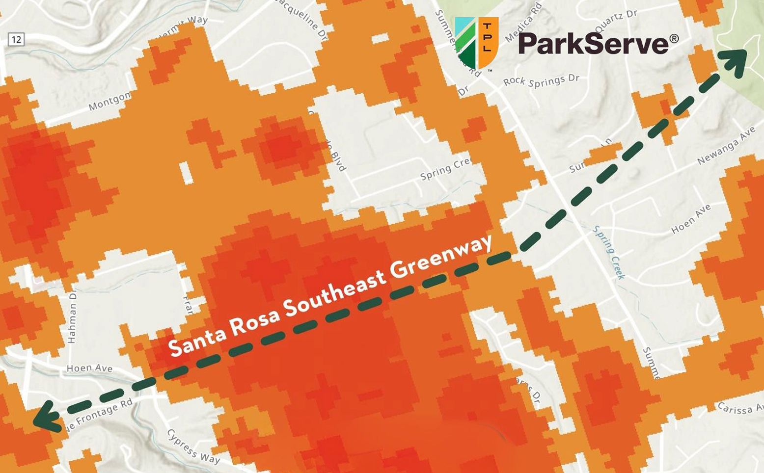
Sonoma Land Trust uses the ParkServe interactive map to help us identify, prioritize, and inform our Nature Nearby strategy. The equity data provides insights that drive land conservation strategies by telling us about the communities in which we work including socioeconomic, as well as climate risk factors. This helps prioritize park project locations that are most critical in our area.
Reducing heat can save lives: According to the Environmental Protection Agency, Heat is the leading weather-related killer in the United States, and this summer is already on record as the hottest in history.
Cooling shade from tree canopies and open spaces for wind to move freely can dramatically reduce surface temperatures and the health risks associated with extreme heat. Keeping cities cooler is imperative, as temperatures are trending up due to climate change.
Learn about your neighborhood by using the ParkServe tool